
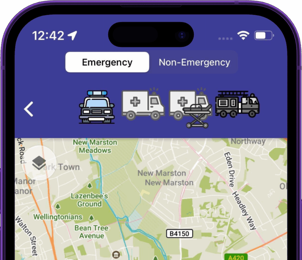
Built for crews, not commuters
Other navigation solutions are based on commuter traffic patterns. The map that gets you to work doesn’t understand that you can use a bus lane with blue lights on, or that using a congested but wide road is much faster than diverting down residential streets.
The impact? Over a minute saved on average responding to emergency calls in one police force area.
More traffic reduction schemes. Larger patrol areas. Poor staff retention, less local knowledge.
Generic tools aren’t built for these realities, and response times are paying for it.
See how this plays out against the apps crews use today: Google Maps, Waze, TomTom and Sygic.
Why you should care
Every second of an emergency response gets scrutinised. Call handling and crew turnout are measured, audited and optimised to the second. Driving to scene accounts for more than twice those two stages combined, yet it’s the part many services have treated as fixed and unavoidable.
It isn’t fixed. That 68% is exactly where better routing pays off: shaving even half a minute off the drive does more for your overall response time than any further tuning of the stages already running lean - and it’s the lever conventional navigation leaves untouched.
What you can configure
- Vehicle profile — vehicle type, weight, dimensions
- Local rules — motorway access points, city center bollards, etc.
- Driver behaviour preferences — pursuit-aware, smooth-route, fastest, shortest
What the engine accounts for
Beyond exemptions, every route is shaped by the realities of driving a response vehicle:
- Width, height, weight restrictions: never routed down a road your appliance can’t physically clear, while ignoring environmental HGV restrictions.
- Offline by default: Map data & routing calculations on your own devices.
- Road closures: Closures are factored in, no surprises.
- Precise ETAs: Road speeds are learned from anonymised telematics of emergency vehicles driving on blue lights, so arrival times & turn instruction timings reflect how response vehicles actually travel.
- Roads that suit response driving: The same data steers routes towards wider roads with fewer turns, where traffic has room to move over.
- Building-entrance detection: guidance to the right entrance, not just the centre of a postcode.