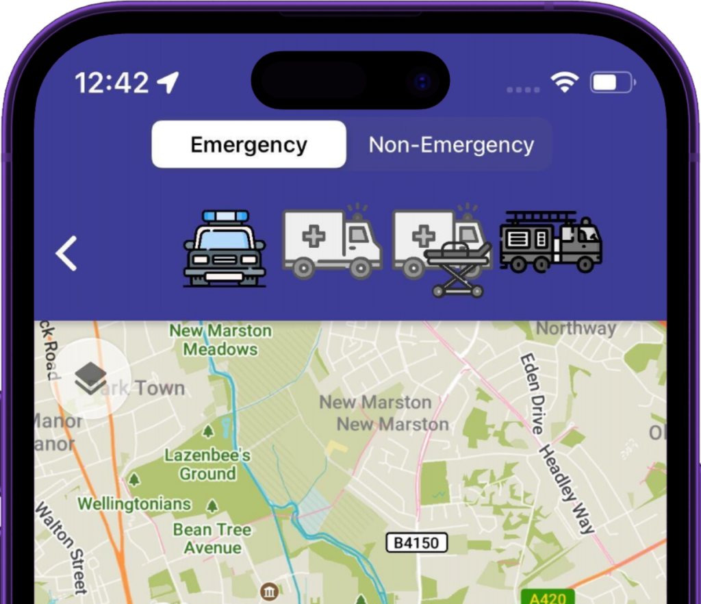
This mode is for responding with warning lights & sirens,
it finds suitable routes that take advantage of exemptions.
Routes suitable for cars
Ensures routes avoid width/height restrictions,
suitable for Ambulances and Police vans/carriers
Designed for Ambulances with patients onboard, finds routes that
avoid speed humps
Ensures routes are suitable for width/height
of fire appliances. Minimises sharp turns.
Mode that follows normal rules of the road
Take a sneak peek.
Tap the hotspots for more details on how our routing features can benefit emergency response.
Cutting-edge features
Blue Light Routing
Whether it's exemptions from bus gates, low traffic neighbourhoods or secret motorway access points - if there's a shortcut, we'll find it.
Detailed maps
Our users value our incredible detail, from phone booths to clearly labelling every UK building with its address.
StreetView of destination
As responders arrive on scene, they are shown a photo of the front door, saving vital seconds in locating incidents.
Timely directions
We know our users often driving fast, so give earlier notice of upcoming turns when they need it.
Offline support
With all map data synced to the device, no internet access is required.
What3Words integration
Responders can search for a W3W location like any other address, and easily view/share with colleagues.

