How we help
The first thing a police officer is taught is “Always know where you are,” and that principle holds true for anyone in the emergency services.
Location intelligence isn’t just about reading a map—it’s about having quick, clear insights into the environment around you.
By integrating data from Ordnance Survey and What3Words, we give responders an instant understanding of where they’re needed and how to get there.
Our goal? To improve situational awareness so your teams can stay focused on the critical work at hand.
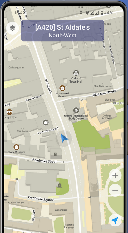
Location & direction
Allow your pursuit drivers to safely see which road they're turning into without diverting focus to find street signs at high speed.
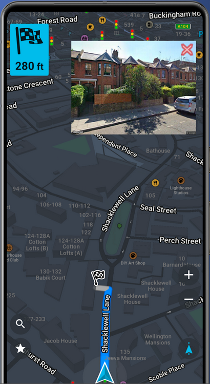
StreetView of destination
By showing a photo of the incident location as a responder arrives on scene, we help them to quickly identify exactly where they're needed.
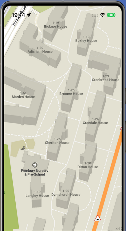
Detailed maps
As an Ordnance Survey partner, we've integrated the nations premier datasets and prioritised showing the information that matters most to first responders.
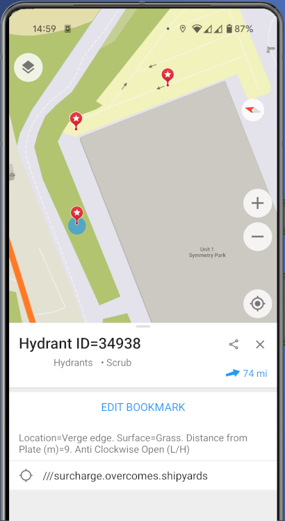
Custom data layers
From displaying fire hydrant locations to crime hotspots, we can integrate your custom datasets and make them easily accessible to your users via our mobile app.


Having very clearly defined house numbers is very useful.
Police Officer, Cambridgeshire
[...] Another nice touch is the image that pops up automatically in the corner showing the street view of the destination when you arrive.
Police Officer, App Store Review

